Published on
May 4, 2024
Dissolving map boundaries in QGIS and Python
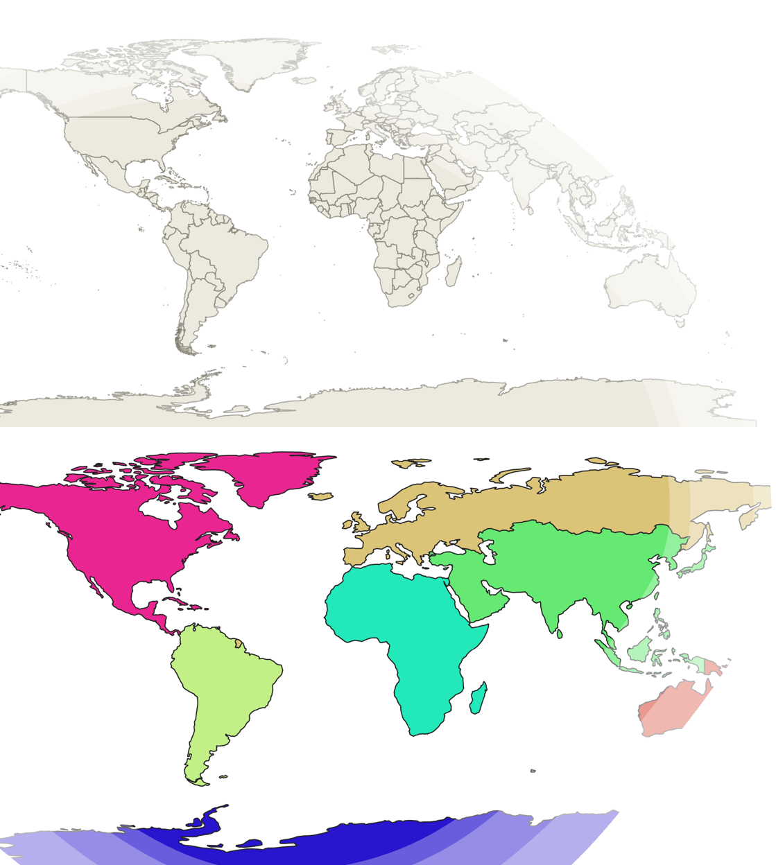
In an empty QGIS project, by typing world in the coordinate space in the bottom of the page, I could call an in-built map of the world with administrative boundaries of all the countries as shown below. Getting a world map in QGIS. Image by Author.Next, by …
Source:
Towards Data Science
-
Label Pending